Views. Trails. Open space.
Mount Umunhum
By Neil Wiley · October 2025 · Volume MMXXV, Number 10 · Page 18 · 3 min read
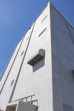
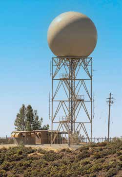
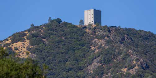
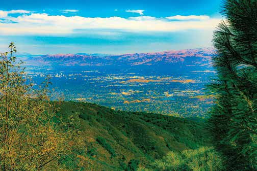
Mount Umunhum is 3,486 feet high. It may not be as tall as Loma Prieta, but it is the centerpiece of Midpeninsula Open Space’s largest preserve with more than 19,000 acres of grasslands, chaparral, bay and oak forests, deep ravines, and wilderness.
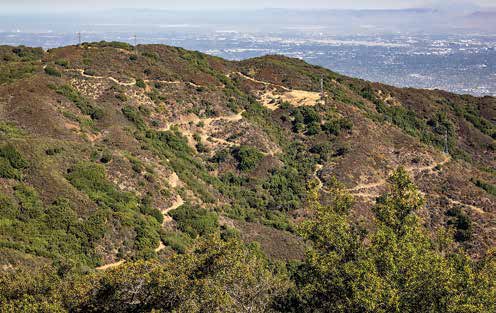
The views from the peak are exceptional. You can see other mountains, including a distant Mount Diablo and our neighbor Loma Prieta. Better yet, the highway to the peak is the easiest and safest one I’ve ever seen. It is breathtaking but not terrifying, even for bikers.
If you want exercise, you can walk up to the summit from the Bald Mountain parking area. Although it is a 3.5-mile hike with an elevation of more than 1,000 feet, the grades are less than 10 percent and most of the trail is in shade.
For people who like walking down more than up, bring two cars with a partner. Park one car at the lower parking area, drive the other car up to the summit, walk down together, then drive up to get the other car. (I’ve done it. That’s why I can still walk mountains in my eighties.) Want to walk more trails? For a shorter hike, park in the Bald Mountain parking area. Cross the road to the Mt. Umunhum Trail for a 1.3- mile relatively flat and shady walk to see the views from Guadalupe Creek Overlook.
For more alternatives, take Barlow Road from the Mount Umunhum Trail intersection 3/10 of a mile up-trail from the Bald Mountain parking area. Barlow Road takes you 1.5 miles to the Woods Trail intersection. A right turn on Woods Trail brings you 2.8 miles to the Jacques Ridge parking lot at the bottom of Mount Umunhum Road and Hicks Road. A turn left meets Limekiln and Kennedy trails at 3.6 miles. The Limekiln Trail goes to Lexington Reservoir; the Kennedy Trail takes you to Kennedy Road.
Another option is a short 0.7-mile hike that starts behind the Bald Mountain parking area to Bald Mountain. The parking lots have bathrooms, but I didn’t see any drinking water available. The trail between the Summit parking lot and East Summit is for hikers only.
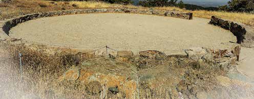
Bikers are allowed on the multi-use trail and the road. Be careful and share the road. In the event of an emergency, a pad next to the Summit parking area is available for helicopters. Hopefully, the future may offer trails from Mount Umunhum south through now-closed areas to Lake Elsman, Summit Road, Wright’s Station, and Soda Springs Road. This would give us direct access to the park without going through Los Gatos.
Future trails in the southeast section of Sierra Azul could link with Nisene Marks State Park
Directions. The destination for your GPS is at the corner of Hicks and 18200 Mt. Umunhum roads. One way is via Highway 85 south from Los Gatos to Camden. Follow Camden for about 1.6 miles. Turn right on Hicks Road. After many curves, you reach Mt. Umunhum Road in about 6.3 miles.
Continue up Mt. Umunhum Road for 5.3 miles to the summit parking lot. If you have handicapped passengers, children, or both, you can deliver them up to a smaller lot for handicapped, then return your car to the main parking lot. Your passengers can wait for you while you climb up 193 stairs. Think of it as good exercise!